Following the release of the City of Chicago Streets for Cycling 2020 plan, the Active Transportation Alliance advocated for the completion of a continuous trail along the Chicago River. This recommendation was repeated and the details expanded in the Our Great Rivers plan, completed in 2016 with partners that include the City of Chicago, Metropolitan Planning Council, Friends of the Chicago River, and the Chicago Metropolitan Agency for Planning. These plans have inspired significant investment and improvements along the Chicago River, including the completion of the Chicago Riverwalk and 312 River Run, and several developer-led projects that improve Chicago’s access to – and relationship with – the Chicago River.
However, there are locations along the Chicago River where conventional trail construction is challenging, due in part to lack of access, incompatibility with existing land use, soil or water quality, or other factors. Stakeholders sought innovative solutions to provide for alternative trail construction methods that draw upon national best practices. Building upon a creative combination of these methods, Epstein proposed a scope of work to determine the feasibility of trail construction along the South Branch of the Chicago River from the Halsted Street Bridge in a northeasterly direction to Ping Tom Park. This would help close a key gap in the trail network, provide a high quality bicycling facility, and spur innovation in trail design under constrained or challenging conditions.
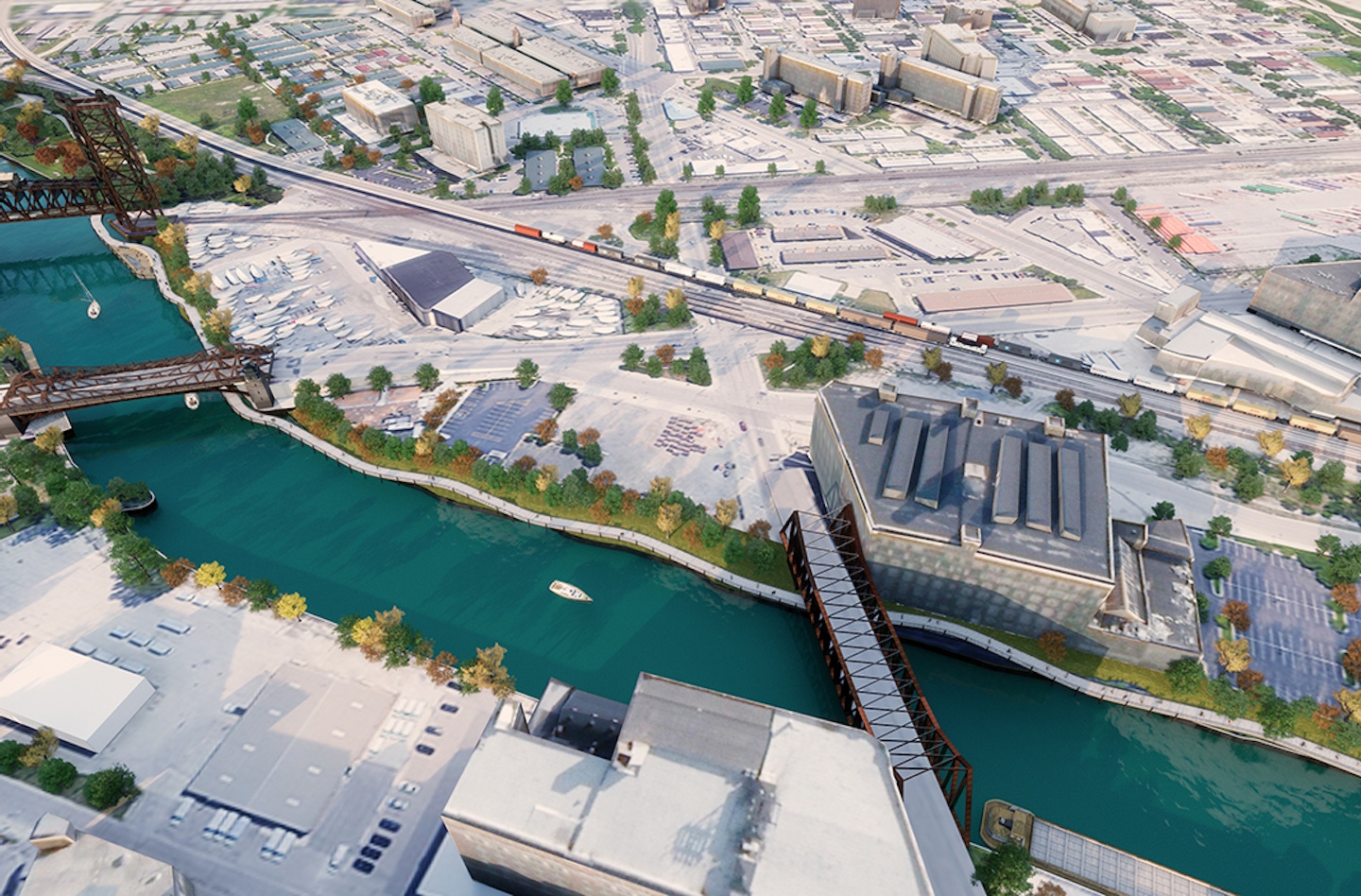
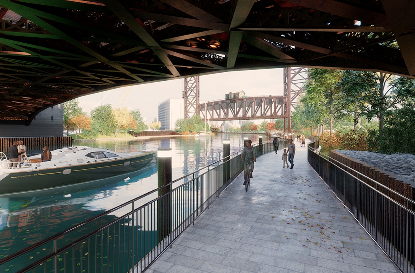
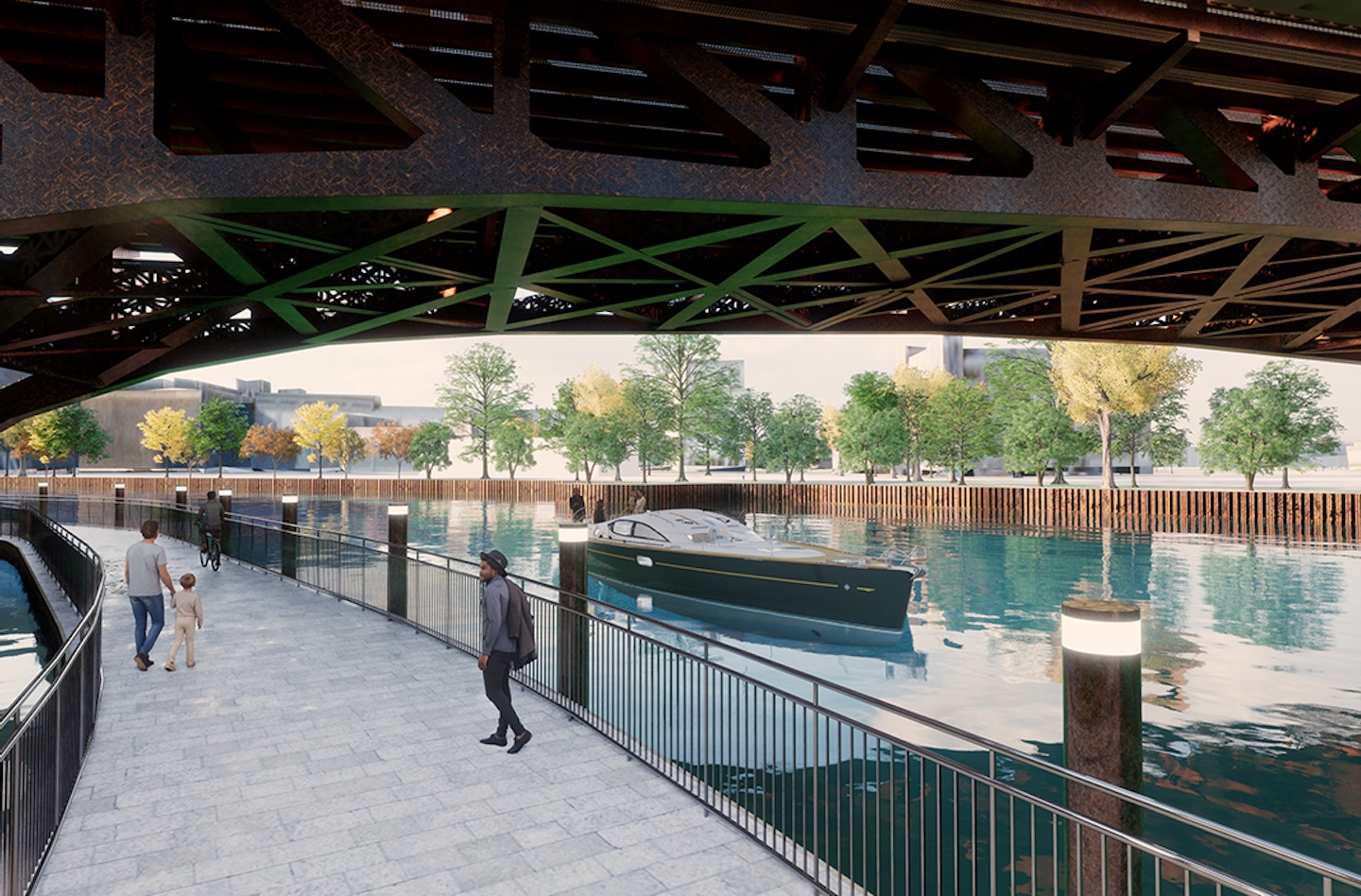
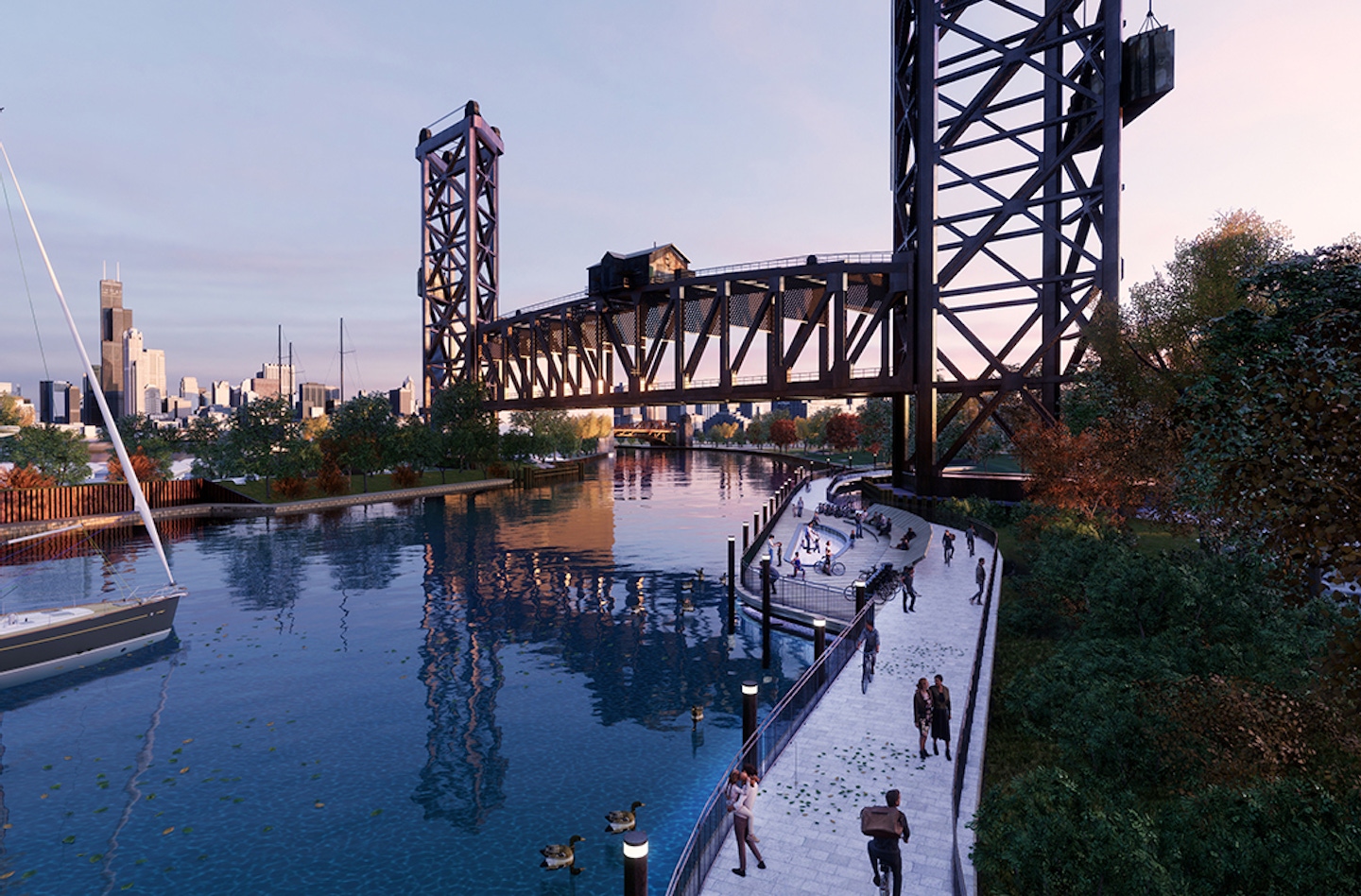
Epstein assessed the feasibility of each design element and prepared recommendations for the preferred approach of trail design. This included ramp connections, trail sections, and the identification or development of anchor and tethering methods to secure floating trail segments into the soil, embankment wall, or structure. Furthermore, using available data and aerial imagery, Epstein prepared concept plan drawings for the trail, its connection ramps at each project limit as well as underbridge connections. Concept plans included a general profile and typical section for each trail segment and proposed alignment.
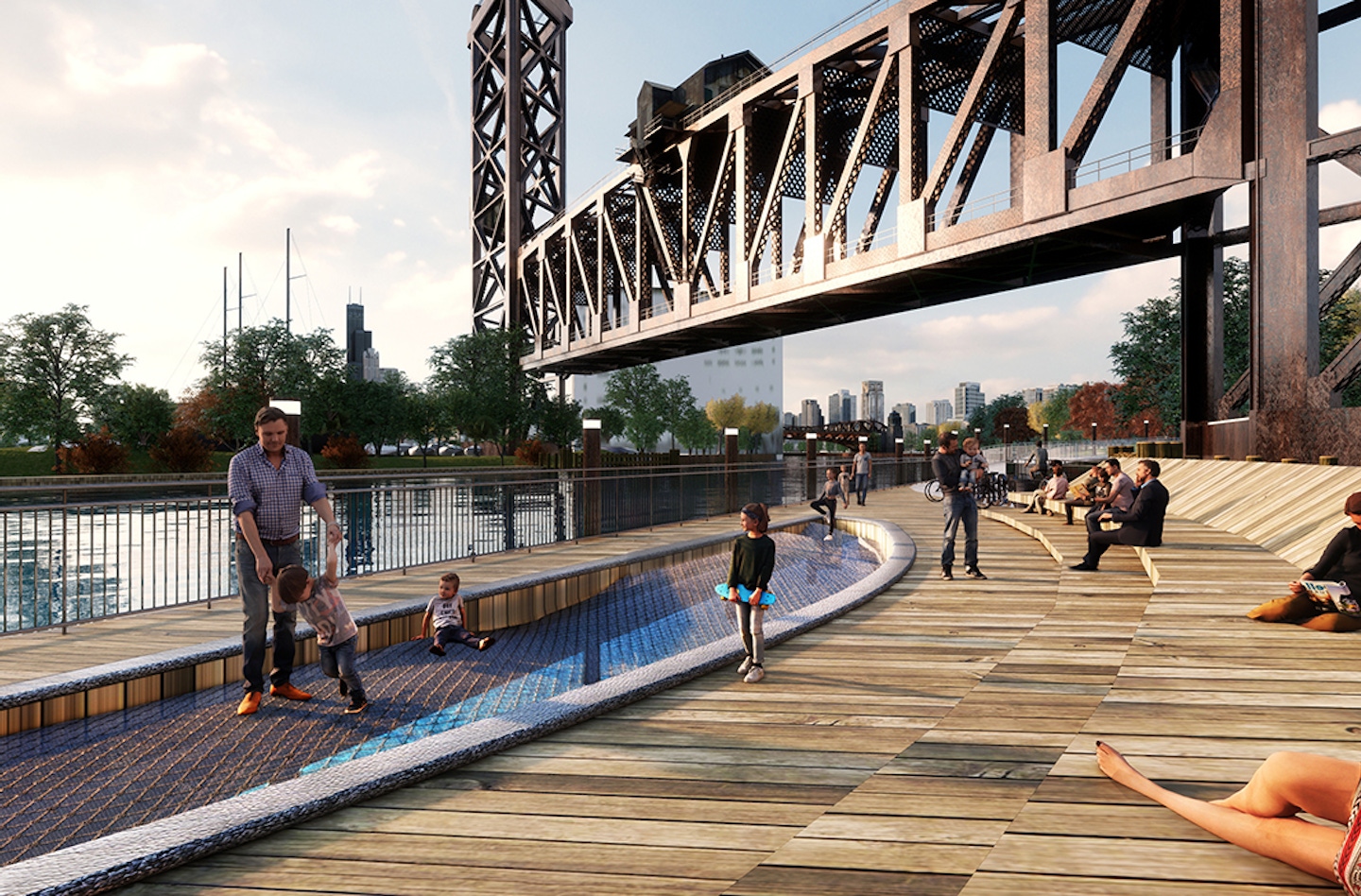
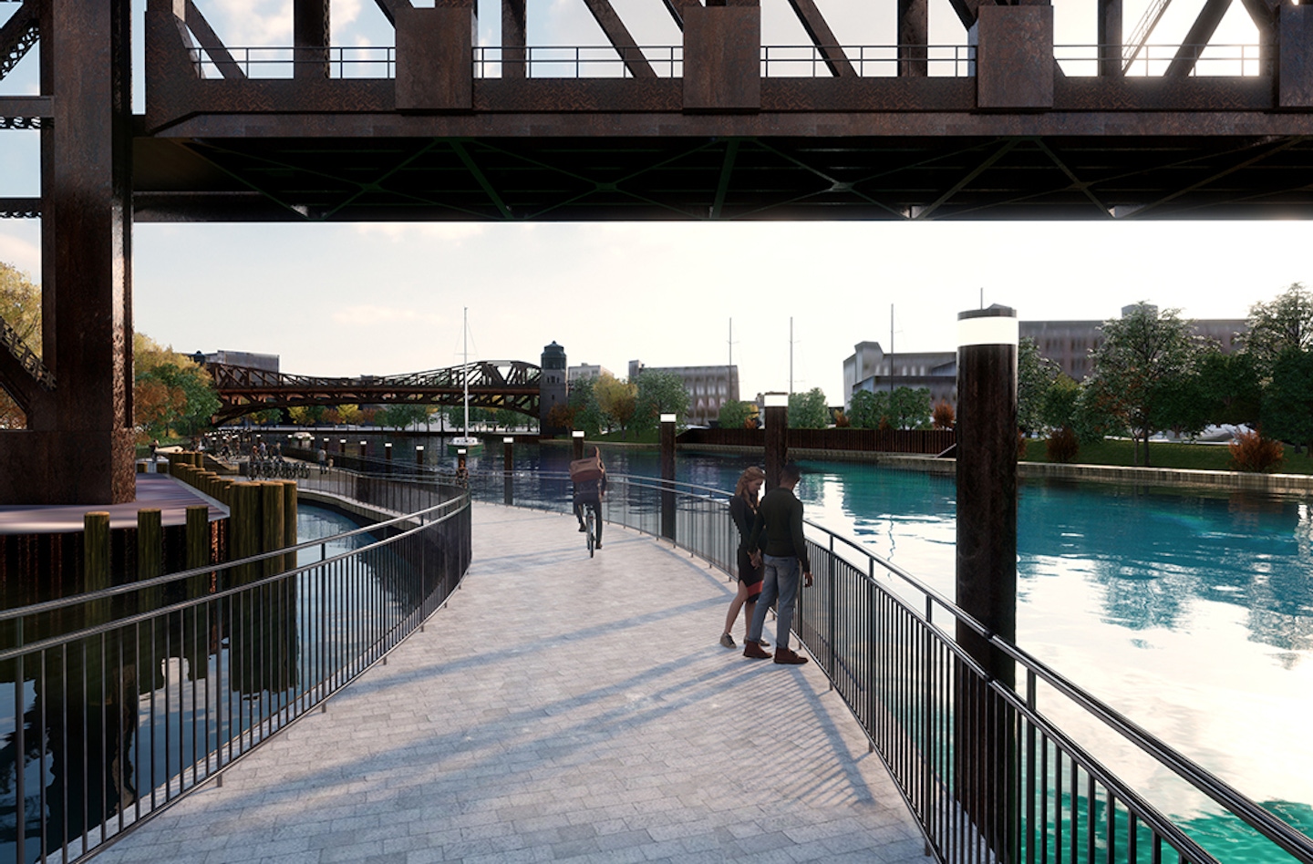
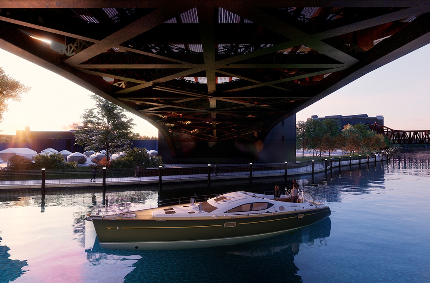
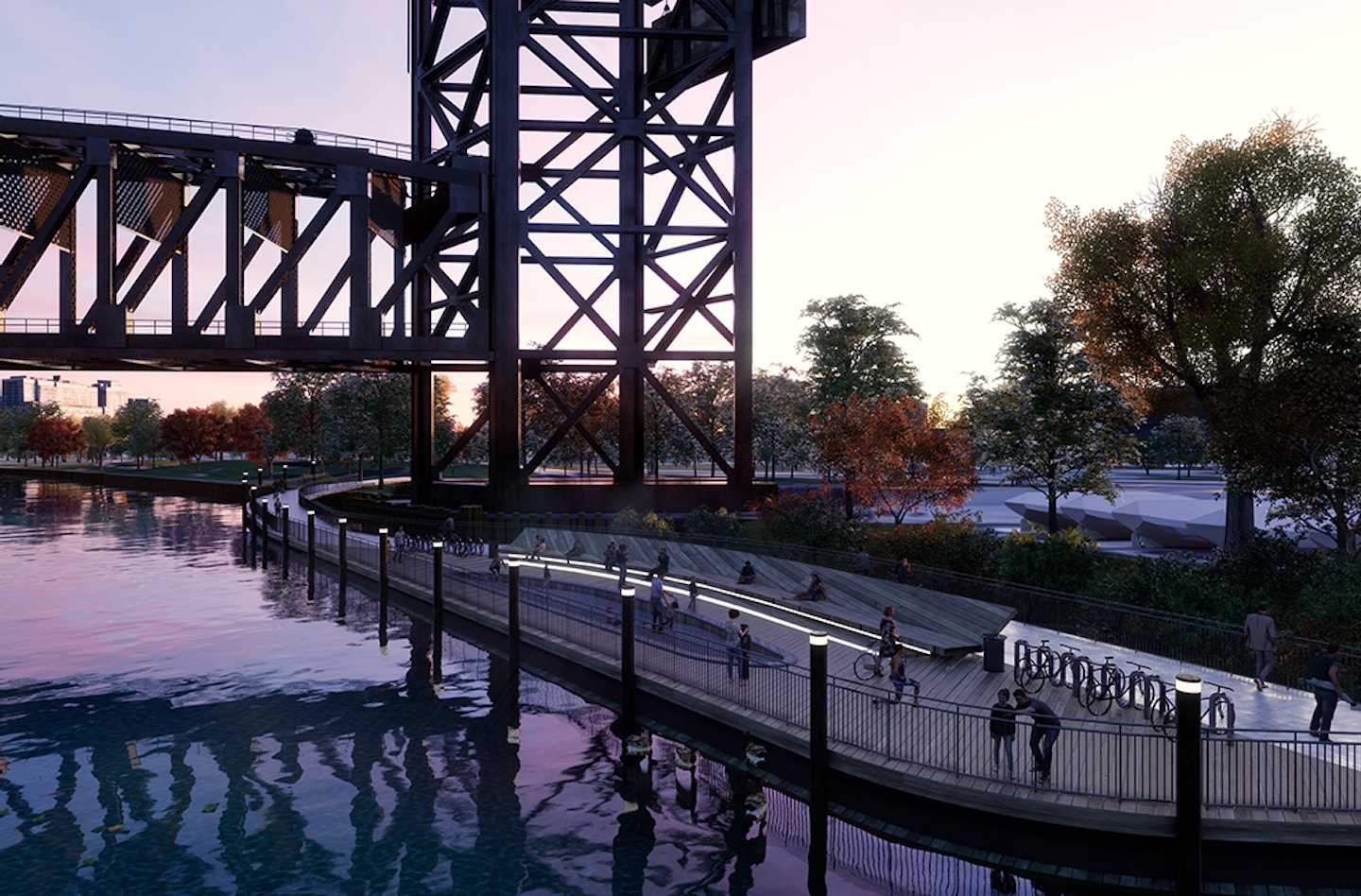
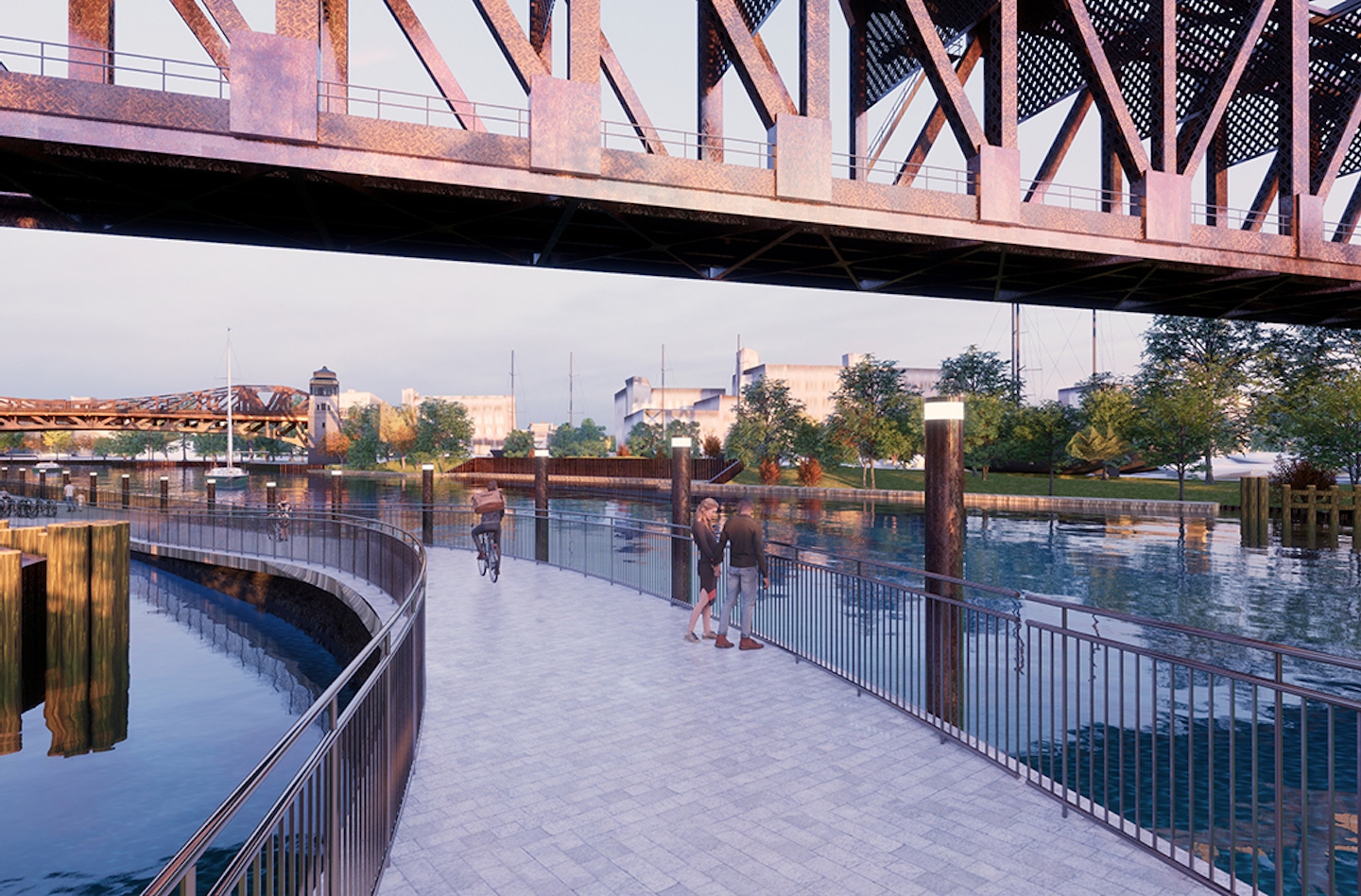
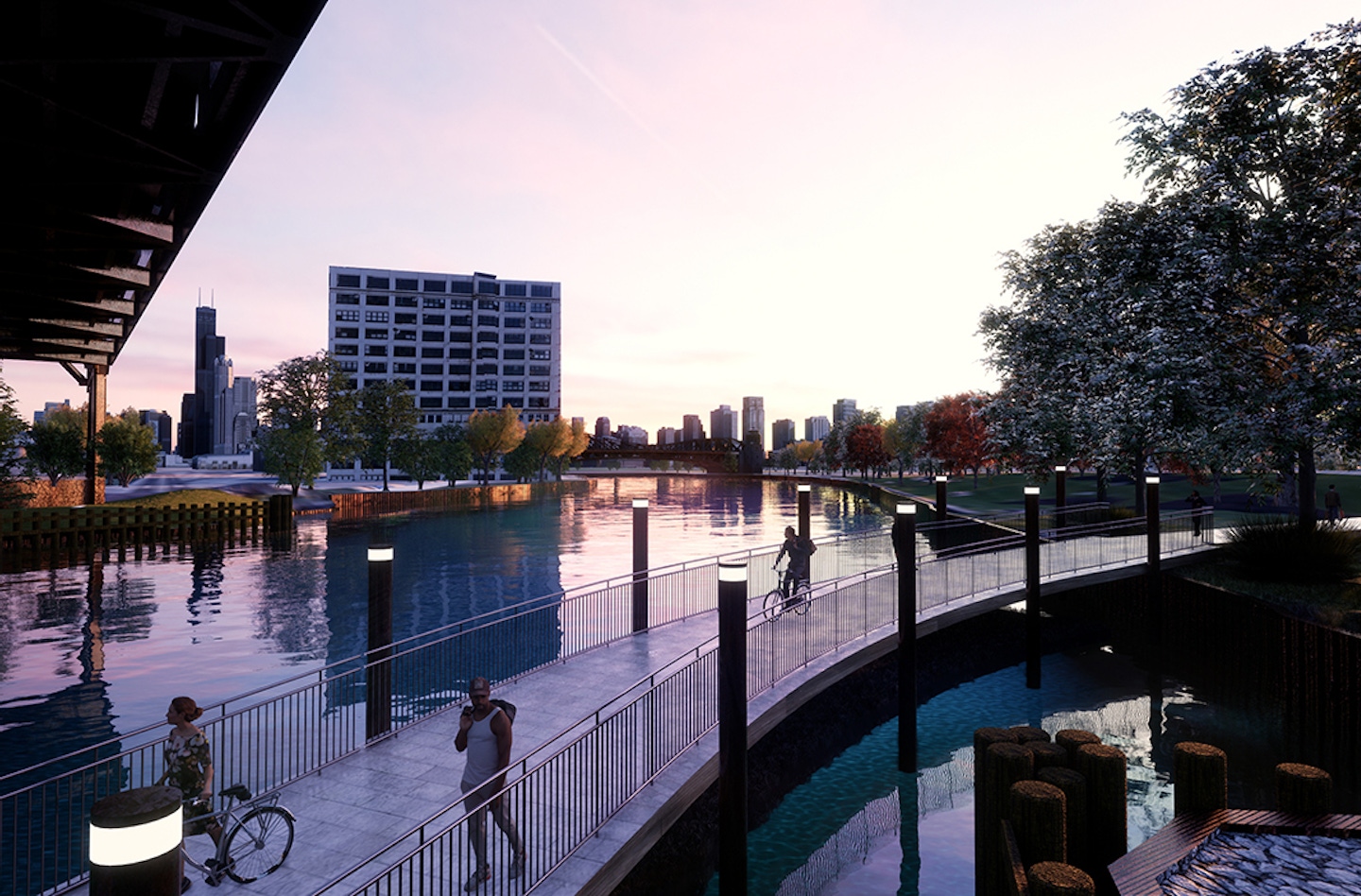
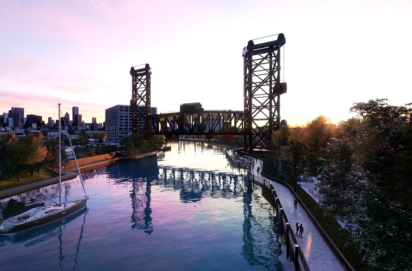
Epstein also prepared conceptual design visualizations using our in-house software to show the proposed trail at key locations to communicate the recommended design approach, context with adjacent land use, the river, and proposed ramp connections or transitions at the project limits.

